Wellington landsat labelled
Forfatter/Opretter:
NASA, edited by en:User:Clawed
Kredit:
en:wikipedia
Shortlink:
kilde:
størrelse:
1280 x 948 Pixel (211004 Bytes)
beskrivelse:
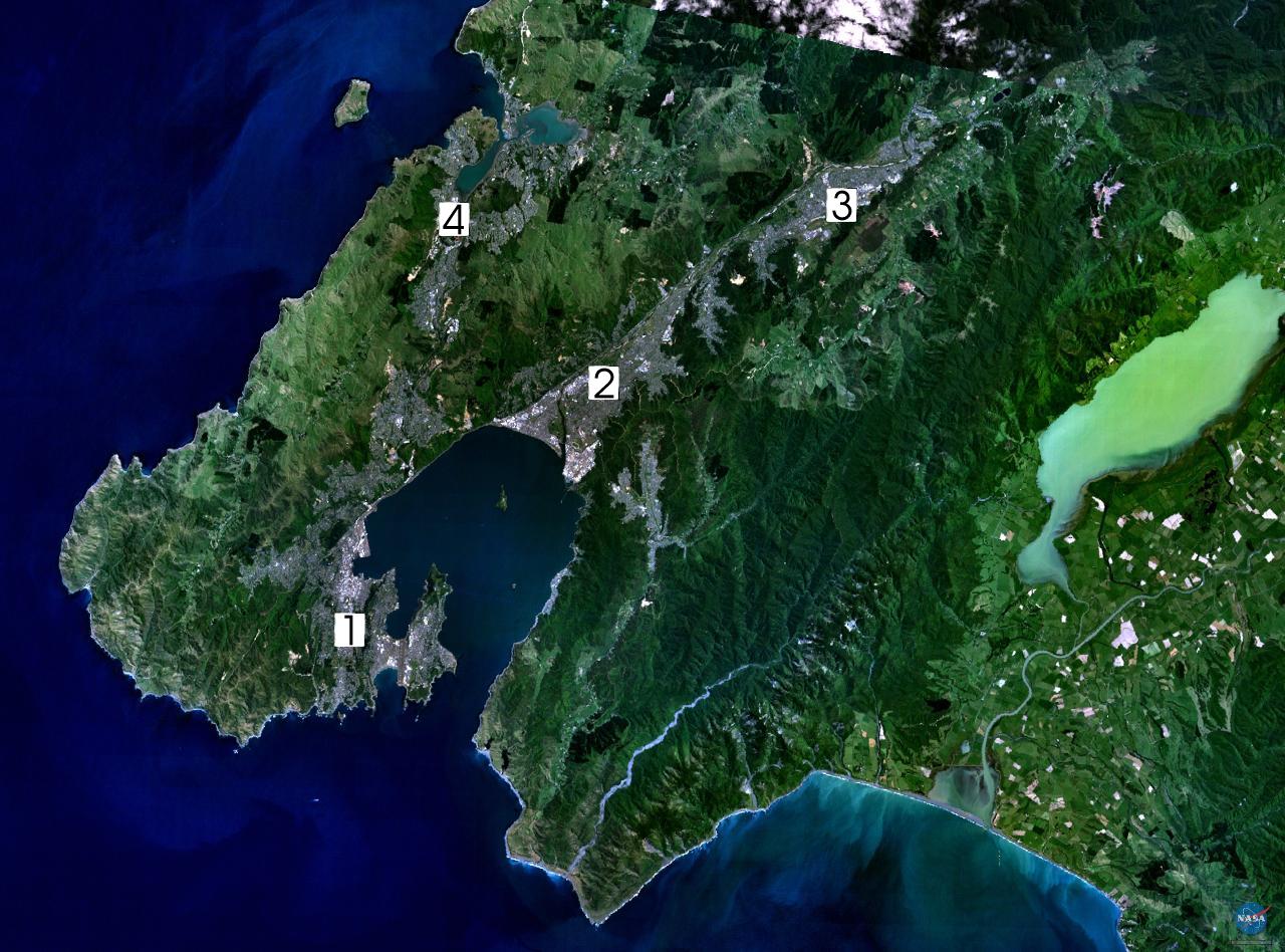
Satellite photo of the Wellington conurbation: (1) Wellington; (2) Lower Hutt; (3) Upper Hutt; (4) Porirua.
Licens:
Public domain
Kommentar på licensen:
| This image is in the public domain because it is a screenshot from NASA’s globe software World Wind using a public domain layer, such as Blue Marble, MODIS, Landsat, SRTM, USGS or GLOBE.
|
 |
Yderligere oplysninger om licens til billedet kan findes her. Sidste ændring: Fri, 07 Feb 2025 18:03:53 GMT